
Sources for Shreveport Neighbors
A block is not one database. The Caddo Assessor and parcel maps establish lots and assessed owners. Caddo deeds and plats explain subdivisions, easements, and earlier transfers. GeauxVote handles single election lookups while the paid voter-list process follows separate state rules. Shreveport's association directory supplies civic contacts, not member names. Library reverse directories and Sanborn maps add past context.
| Source | What It Shows About a Block | Access |
|---|---|---|
| Caddo Assessor and GIS | Parcels, assessed owners, situs and mailing addresses | Free search; some mapped detail paid |
| MPC Property Address Lookup | Zoning and added property context | Public ArcGIS viewer |
| Caddo deed and plat | Lot, block, easement, subdivision and prior owners | Index, account, office or copy request |
| Voter portal and lists | Registration and district fields for permitted records | Free single lookup; paid list |
| City association directory | Public group contact, district and ZIP | Public PDF, no member list |
| Library reverse sources | Past subscribers and historical address context | Library and Special Collections |
The owner mailing address can differ from the property's situs, which means the owner may live elsewhere. A homestead flag can support an owner-occupancy inference, but its absence proves nothing about occupancy. Apartments, churches, schools, common areas, utility tracts, and corner lots also break a simple one-parcel, one-house assumption. Keep the record role visible beside every name.
Date each result. Assessment rolls, permit files, directory editions, and association contacts can change on different schedules. A useful block log keeps the source URL, access date, parcel direction, returned role, and any gap note together. That record makes later checks possible without collecting more personal detail than the question requires.
Map Shreveport Parcels
Verify the target address through USPS and the Caddo Assessor's DataScout route. Record the parcel ID, situs address, owner mailing address, legal description, and subdivision or lot and block. Then open the Shreveport-Caddo MPC Property Address Lookup. Center the subject parcel and identify polygons sharing a boundary or directly across the street. The map is a browsing tool, not a legal survey.
- Normalize the street number, direction, name, unit, city, and ZIP.
- Save the target parcel ID and legal description in DataScout.
- Click each parcel next door and across the street, then note its direction.
- Check every parcel ID against the current assessor record and date.
- Use the recorded plat or deed when a line or easement must be proved.
Note whether a polygon is a road right-of-way, drainage strip, vacant tract, common area, or rail corridor. The City disclaims GIS accuracy and timeliness, so visual contact on the screen does not prove that two parcels share a fence. For work beyond the immediate block, use the Shreveport street directory workflow.
Shreveport Neighborhood Directory
The City's neighborhood association PDF was updated May 7, 2026. It groups public contacts by council district and can include an organization name, contact, address, ZIP, phone, email, or website. It does not publish a member roll, prove that every group is active, or define a legal neighborhood boundary. Use it as Shreveport vocabulary and a civic contact route.
| Area examples | Public directory use |
|---|---|
| Highland and South Highlands | Distinguish Highland Area Partnership, Highland Restoration, Fairfield Historic District, and South Highlands groups. |
| Broadmoor and Captain Shreve | Find the listed association name and council district contact. |
| Cedar Grove and Caddo Heights | Identify the specific group rather than assume one neighborhood body. |
| Mooretown and Queensborough | Use the city spelling and listed public contact for history questions. |
| Southern Hills and west Shreveport | Separate local civic names from postal labels and informal boundaries. |
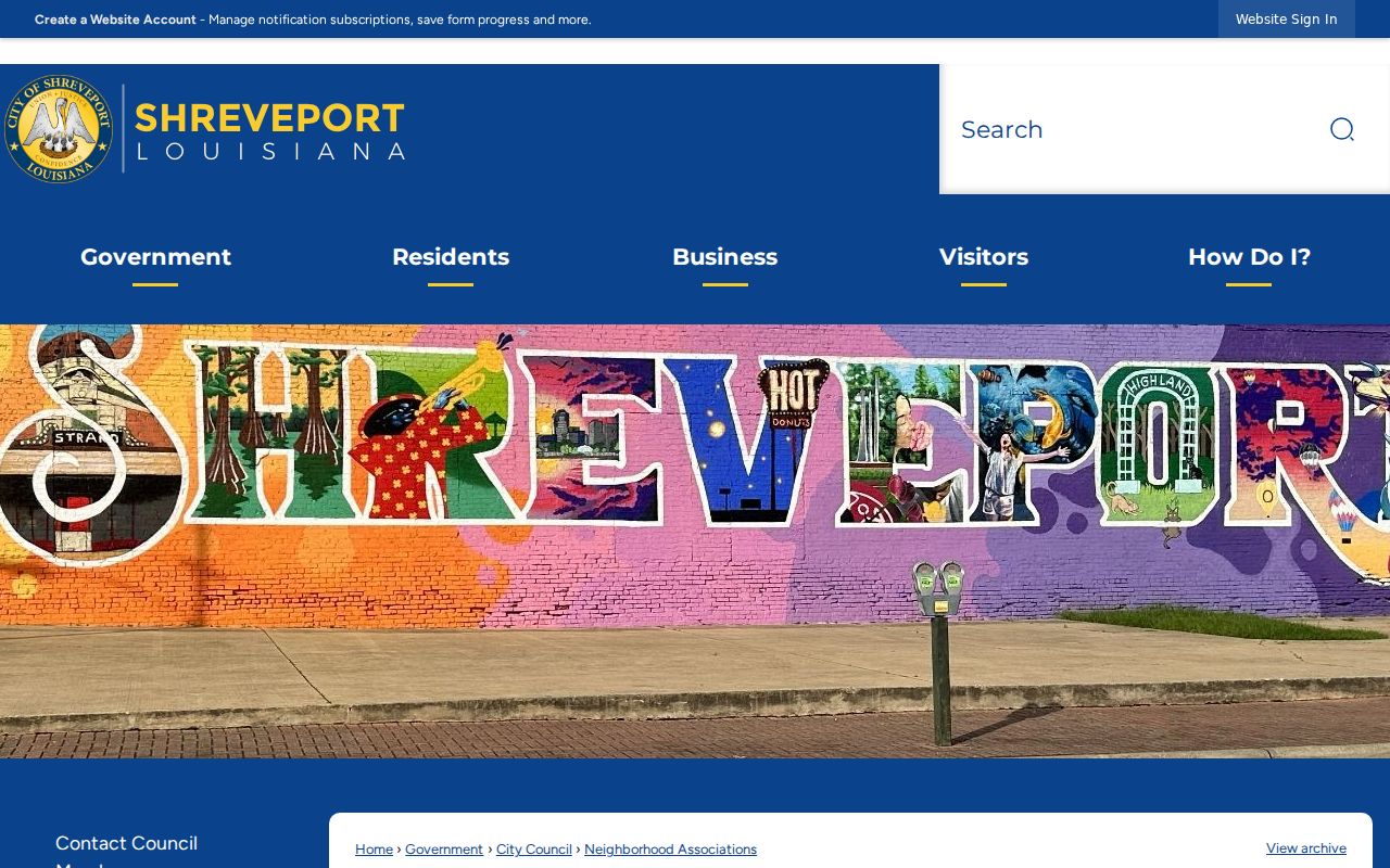
The City neighborhood association page is pictured below. Updates route through Neighborhood Assistant Tonya Bogan at 318-673-5669 or the city's listing form.
Shreveport Neighbors and Voter Data
GeauxVote's address mode asks for ZIP code, address, apartment or lot, and city. It is not a block roster. Louisiana deliberately separates address records from named voter records in the public interface. A paid list can use parish, ward, precinct, and district criteria and may include residence or mailing addresses, registration status, and other approved fields, but that does not establish every occupant.
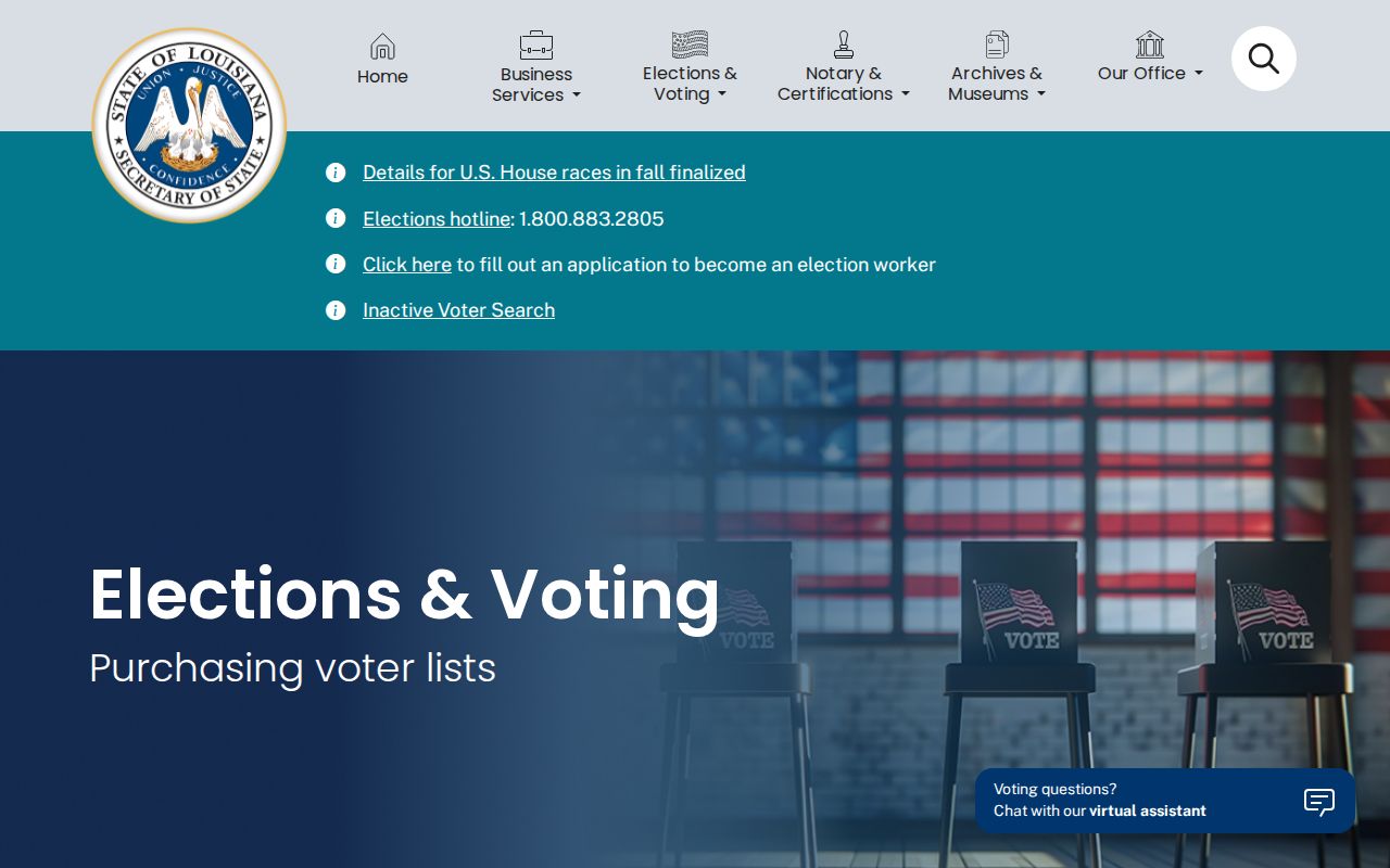
The Louisiana voter-list request page shows the governed purchase route captured here. Orders begin at $20 for up to 2,000 voters and use state-defined formats and selection rules.
Use voter data for lawful election and civic context. It can support precinct or district analysis, but it never shows ballot choices. Protected voter details, Social Security numbers, full birth dates, email, mothers' maiden names, and voting-assistance information are outside ordinary public display.
Shreveport Block Deeds and Plats
A parcel's legal description is the bridge to the Caddo Clerk's recorded deeds and plats. Search the current owner as grantee, then read the grantor and recording data. A plat can show lot and block relationships, rights-of-way, easements, and subdivision structure. Those recorded documents carry more weight than a line drawn in an online GIS viewer.
- Situs address
- The physical location assigned to the parcel.
- Mailing address
- The place where assessment mail goes, which may be elsewhere.
- Parcel
- A separately identified tract on the tax roll.
- Plat
- A recorded drawing of lots, blocks, streets, and related boundaries.
For old instruments, address text may fail. Caddo property images reach 1839, computer conveyance indexing starts in 1914, and pre-1951 registry numbers may be reused on pages holding more than one instrument. Switch to book, page, alpha index, and office help rather than treating no web hit as no deed.
Shreveport Block Permit Context
MGOConnect can search city permit activity by address, name, or permit number and may return project type, application or issue date, inspection events, status, and applicant or contractor. A permit proves a filing or approved activity, not who lived at the site. SeeClickFix concerns begin with an issue address, but no separate public case index was verified.
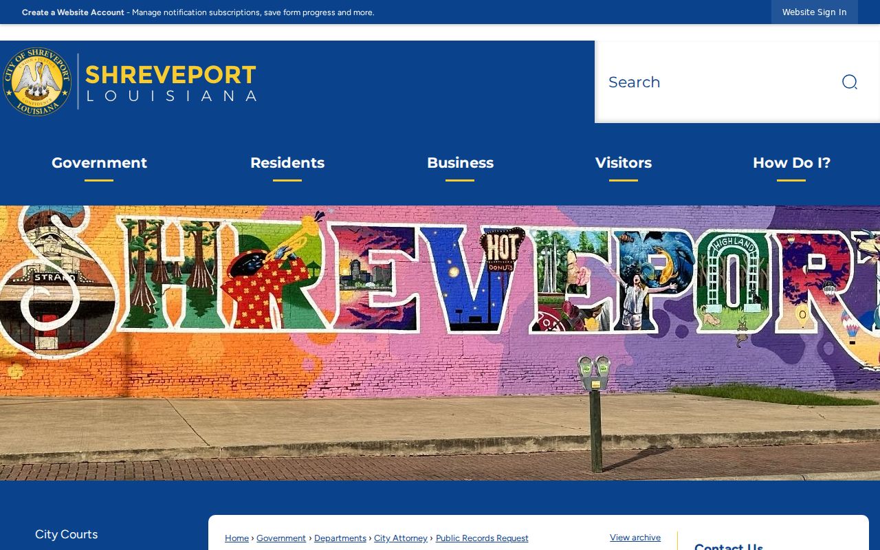
When an older permit, code case, or supporting file is missing online, use the Shreveport public-records request route. The captured guidance below points to the City's custodian process under Louisiana Public Records Law.
Historical Shreveport Blocks
Shreve Memorial Library directories can be searched by name, address, and phone, while reverse or criss-cross arrangements help read a block. Sanborn fire-insurance maps show building footprints, house or block numbers, rear structures, and use labels without naming occupants. Newspapers, legal notices, and LSUS tax rolls add dated context. Preserve the edition, page, map year, and printed spelling.
Current association names should not be projected backward. Highland, Broadmoor, Cedar Grove, Caddo Heights, Queensborough, and Mooretown may appear with varied historic boundaries or spellings. For an older block, log its former street name, ward, directory abbreviation, and census enumeration district. This avoids forcing current ZIP or civic boundaries onto a past record.
Official Shreveport Neighbor Records
Commercial neighbor tools often blend stale phone, address, and marketing data without showing which custodian supplied a fact. Official sources are narrower but clearer. Each has an office, record date, defined field set, and correction route. That makes a parcel ID, deed instrument, permit number, or association PDF entry easier to check.
| Official source | Commercial category |
|---|---|
| States whether a name is an owner, voter, applicant, or public contact | May merge roles into one profile |
| Shows a record date and responsible custodian | May hide age and provenance |
| Offers an office or legal correction process | Usually offers only a private correction or opt-out |
| Withholds protected fields under law | May repeat data gathered elsewhere |
Keep the minimum needed for the block question. A parcel number and direction can make the work reproducible without publishing a needless live list of Shreveport neighbors.
Requesting Shreveport Block Records
Louisiana Public Records Law, La. R.S. 44:1 et seq., provides the framework for inspecting and copying public records from the proper custodian. It does not make every record public or require one office to build a new neighbor list. Ask for an existing file, such as a permit at a stated address during a stated period, and request an electronic copy when useful.
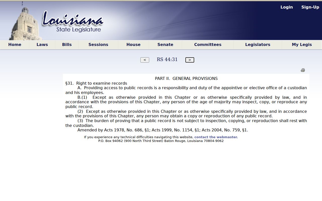
The official Louisiana public-records access provision appears in the captured view below. It supplies the legal starting point, while the City or Caddo office still applies exemptions and its own record process.
Privacy for Shreveport Neighbors
No public parcel search reveals every occupant or household member. Utility customer lists, delivery data, private motor-vehicle addresses, and unlisted phone records are not valid block-directory sources. Court sealing, juvenile rules, adoption confidentiality, and protected voter rules can also make a name search incomplete. A gap must stay a gap.
Louisiana's Address Confidentiality Program provides a substitute address for qualifying survivors of abuse, sexual assault, and stalking. The Secretary of State ACP page shown below explains the official safety route. Never try to reverse a substitute address or expose a participant's location.

Lawful use. Research Shreveport neighbors only for lawful, source-based purposes. Never assemble routes, schedules, or contact campaigns to watch, stalk, harass, threaten, or intimidate anyone.